


Rediscovering Kequasagansett 10
Possible Sacred Stone and Water Works Around Gates Pond in Berlin, Massachusetts

Heading Up That Hill, Too
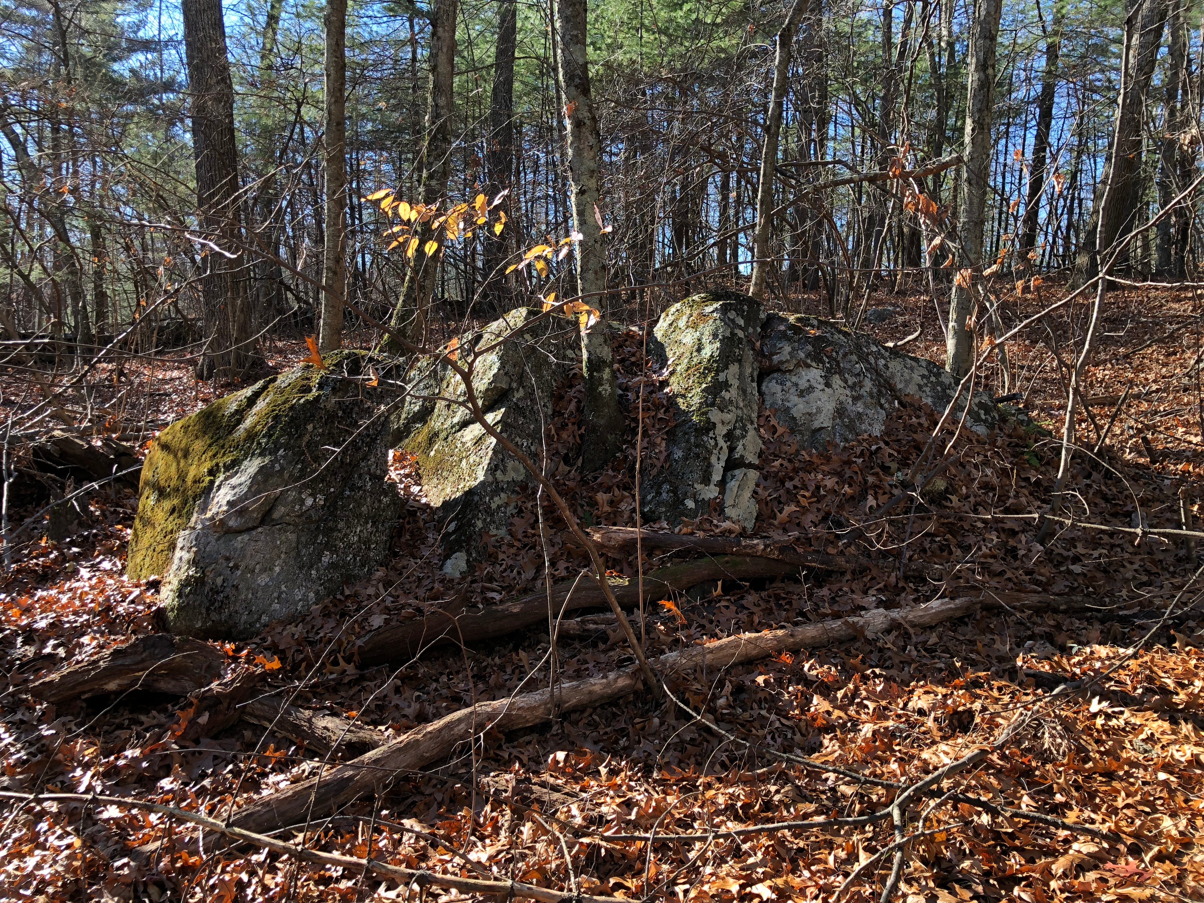
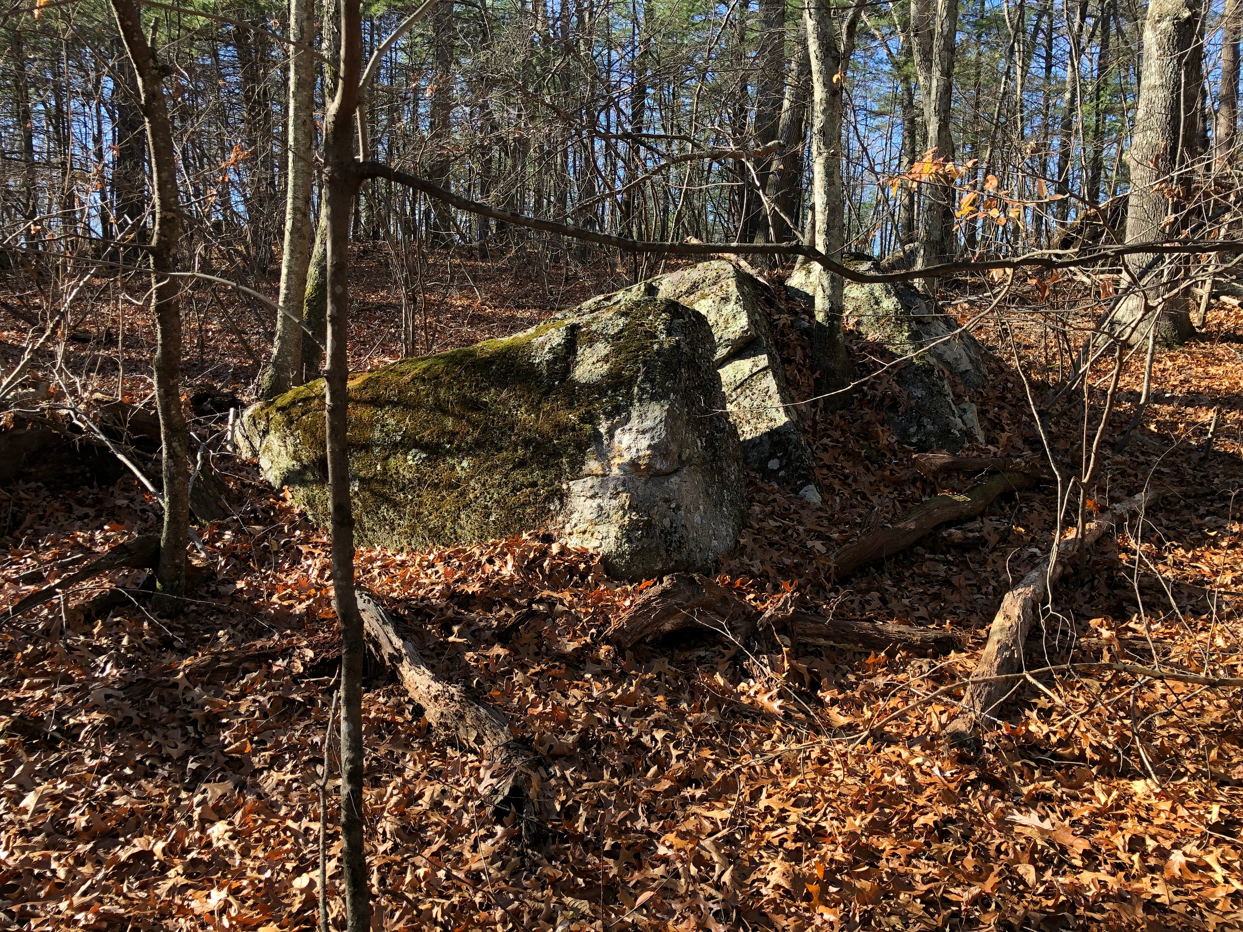
Two larger stone rows branch off perpendicular from the Central Stone Row and run westward.
One of them begins wending in a subtle zig-zag fashion before straightening up to become a boundary. It starts following an orchard fence, setting the other side off-limits, as it winds down through the valley and up another hill – another summit of Sawyers Hill.
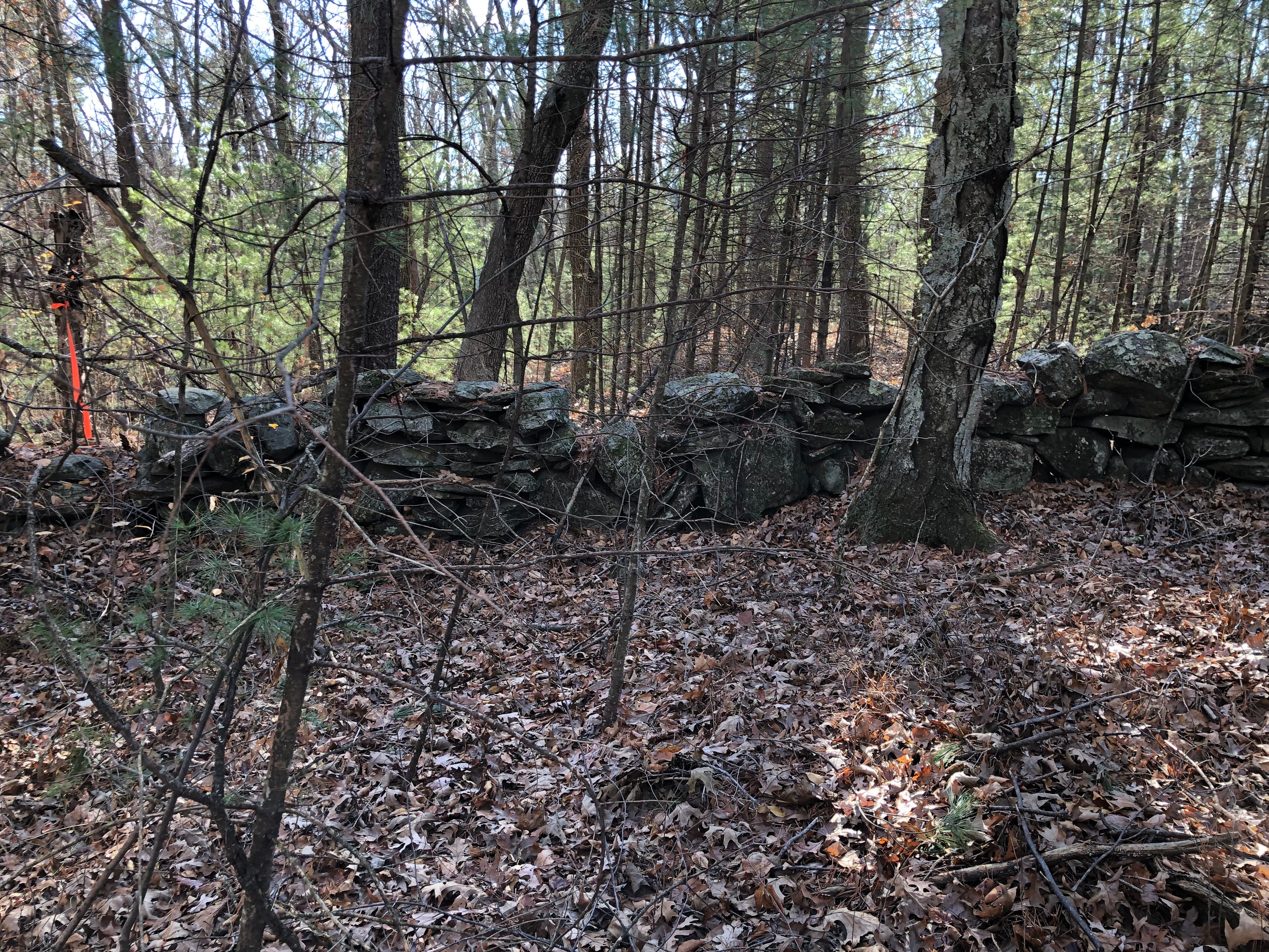
Yet, even as it “straightens” out, its courses still undulate up and down horizontally in a serpentine fashion, albeit in a straighter vertical line across the landscape.
Some dismiss the possibility that a stone row is an effigy row if it marks a property boundary. I don’t consider the usage of a stone row as a boundary a disqualification from possible effigy origins, because I do not agree that this establishes the age of the stone row in a time-frame post-dating when the boundary was drawn.
Which came first? The stone row may pre-date the boundary line, especially as in this case, where only part of the stone row seems employed as the boundary itself.
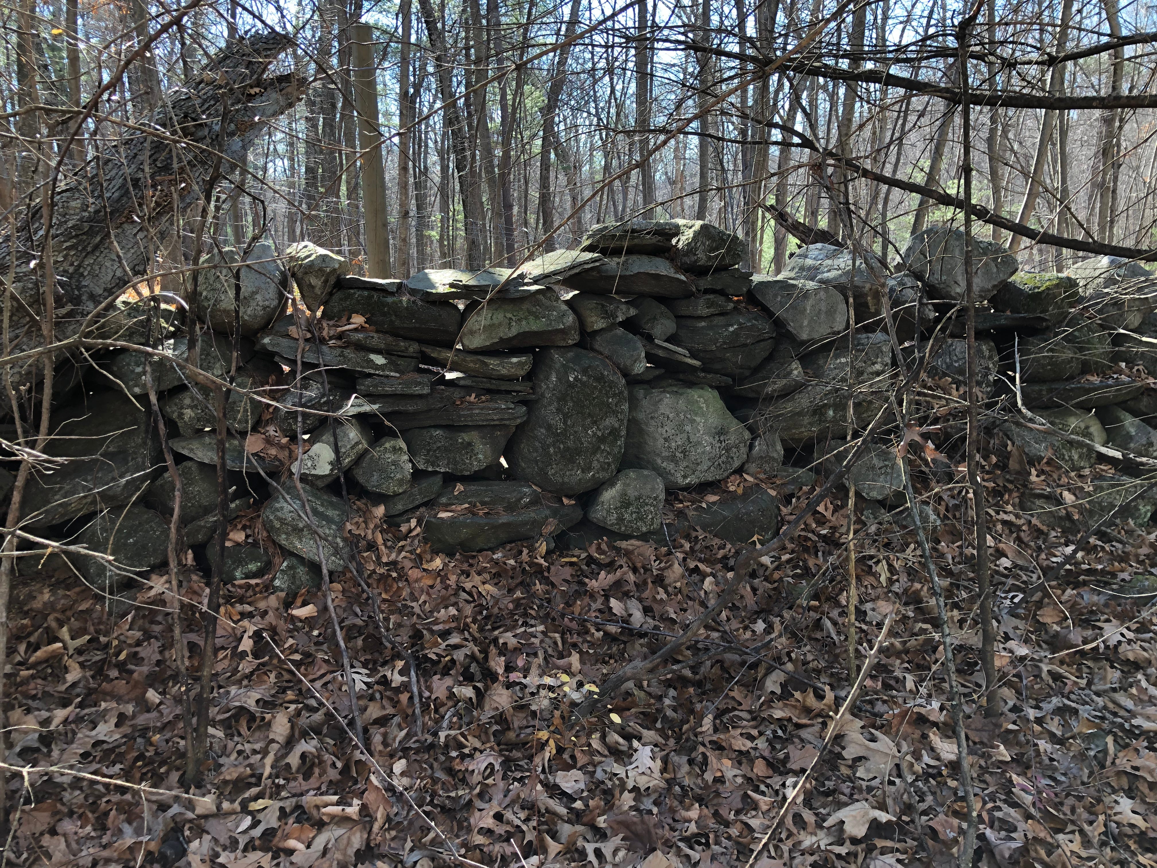
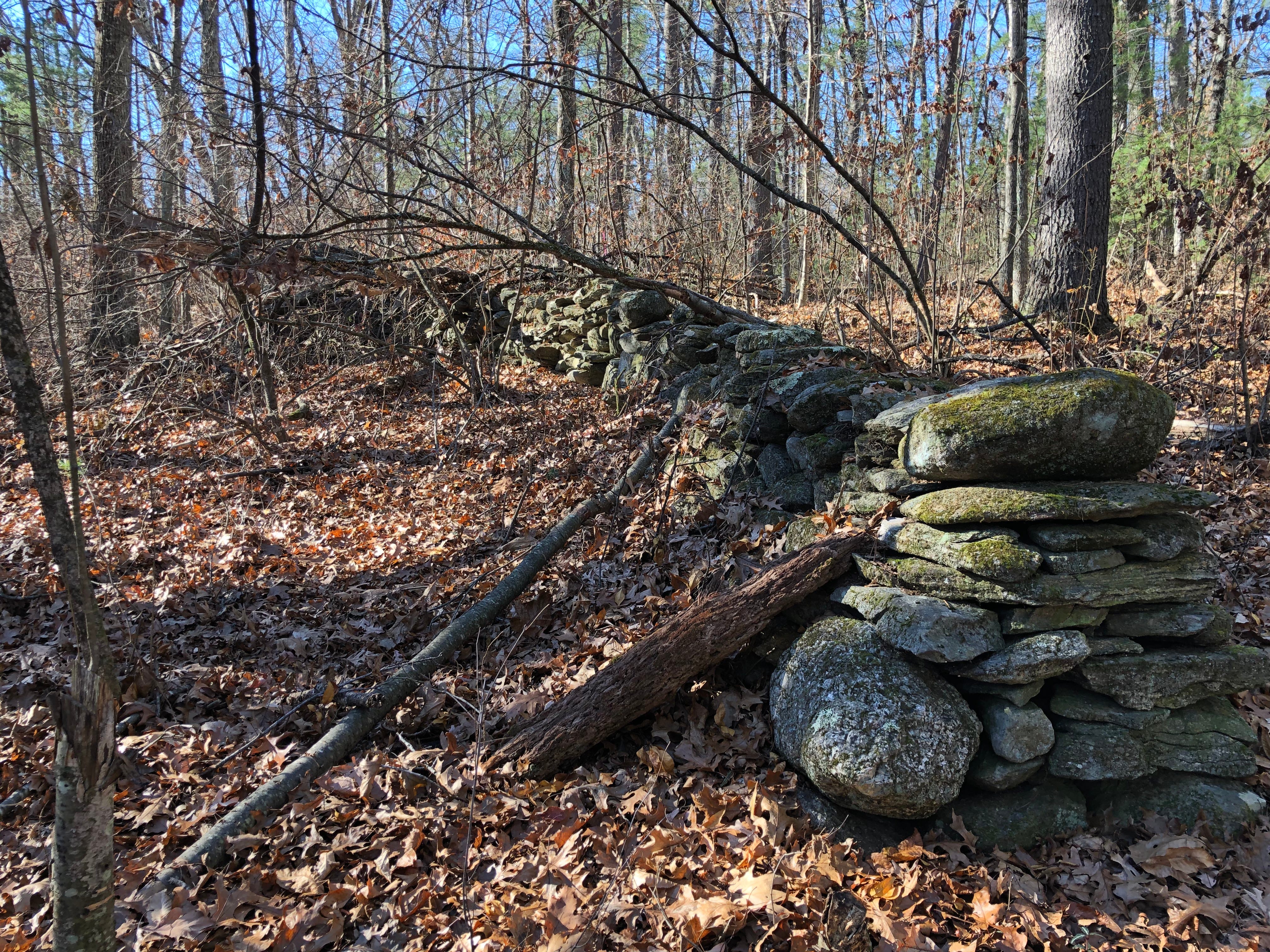
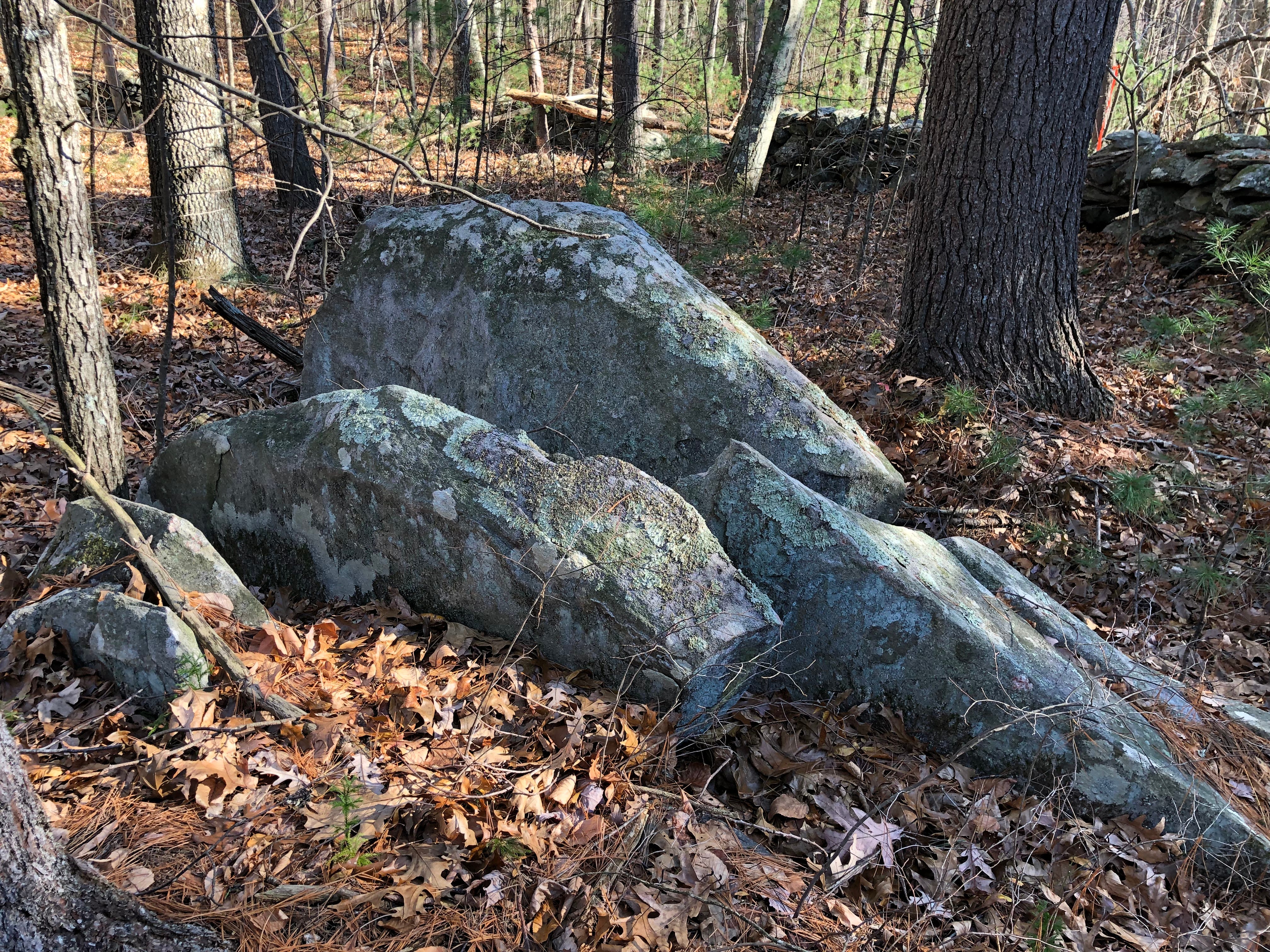
Even along the orchard there are several potential effigy forms built into the stone row. Serpents on Serpents. Effigies all along its length.
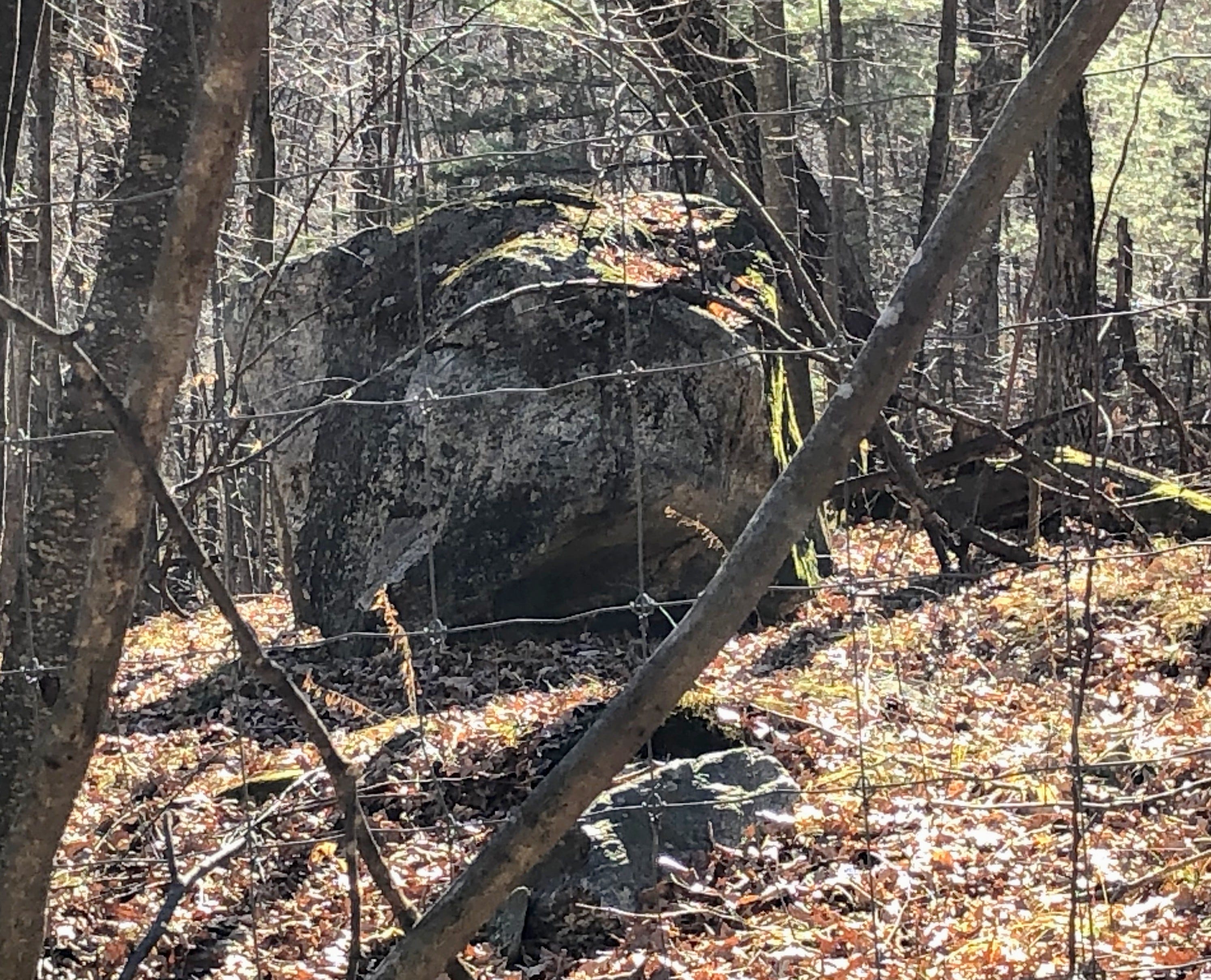
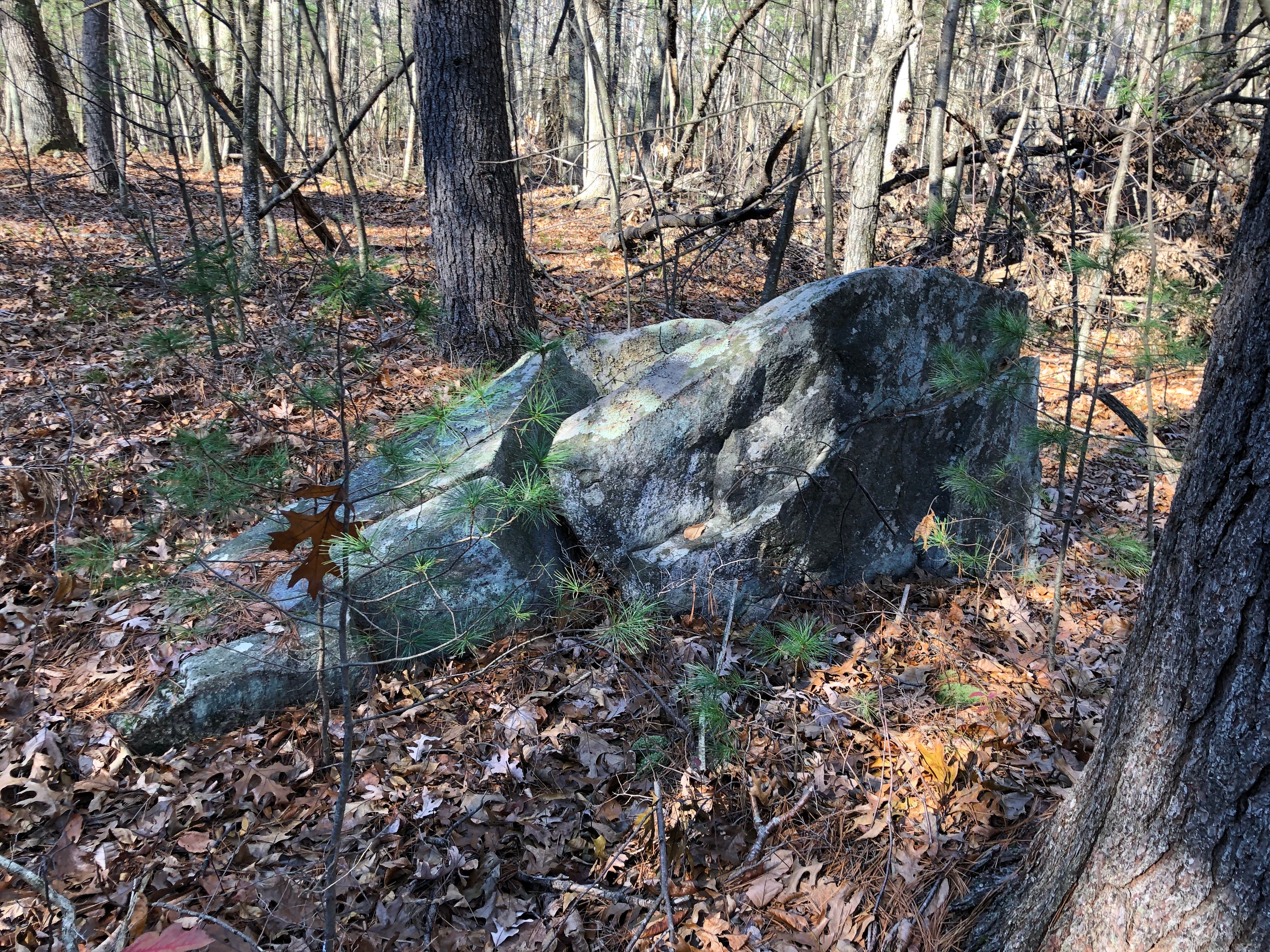
On the hill, in the orchard inside the fence, glacial erratics are partially visible.
Another fence runs along the top of the hill, rendering this hilltop a dead end.
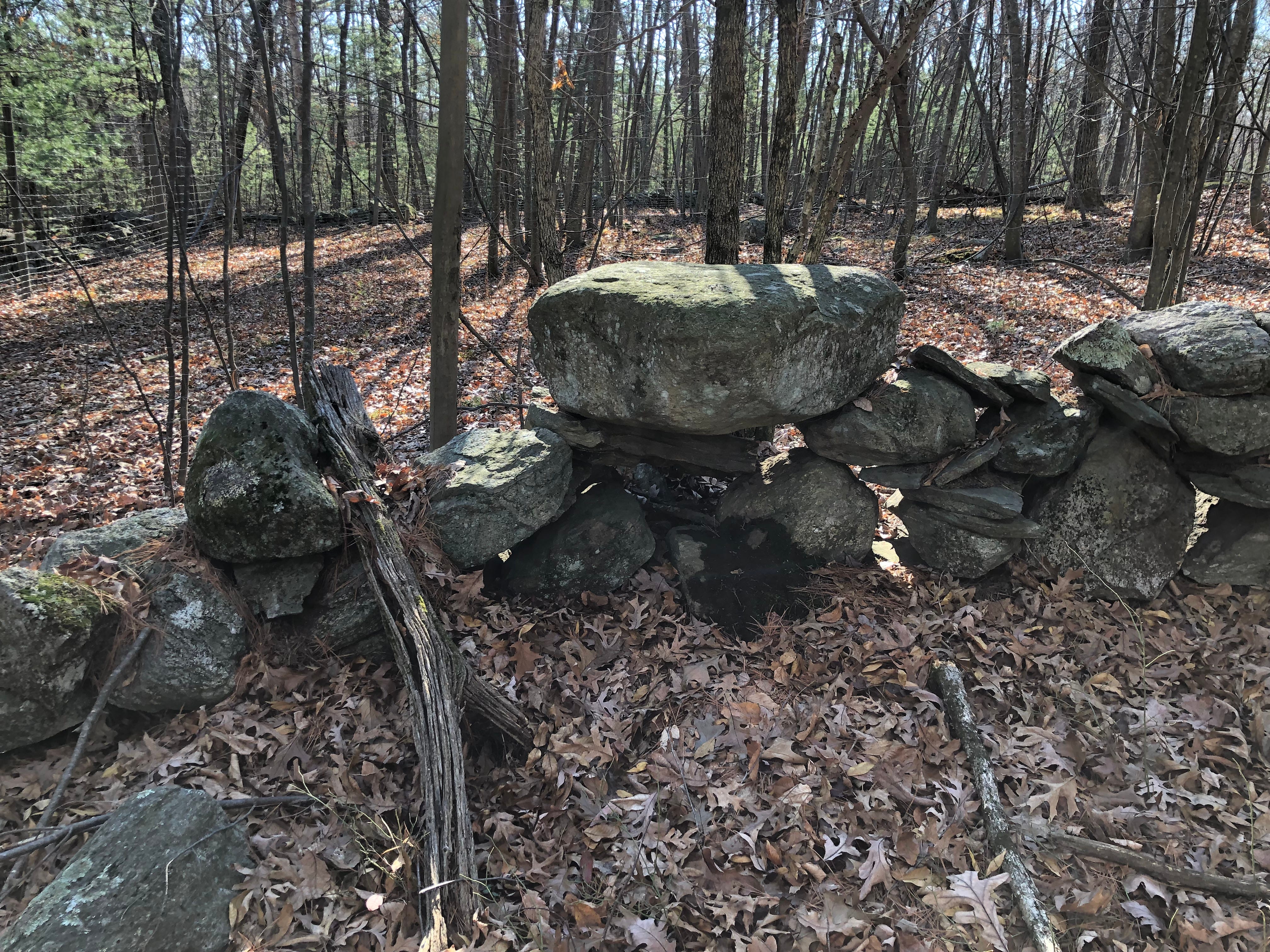
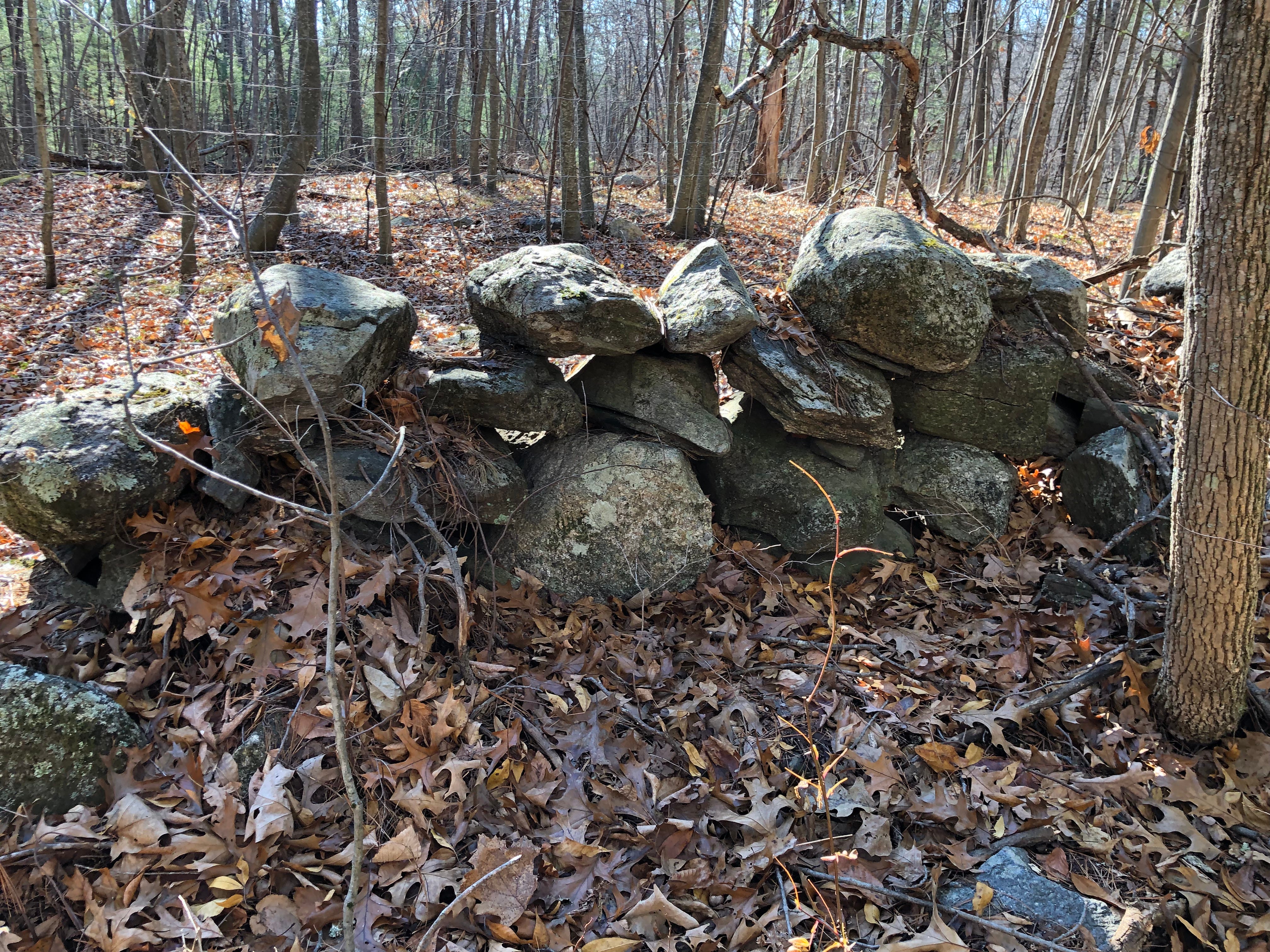
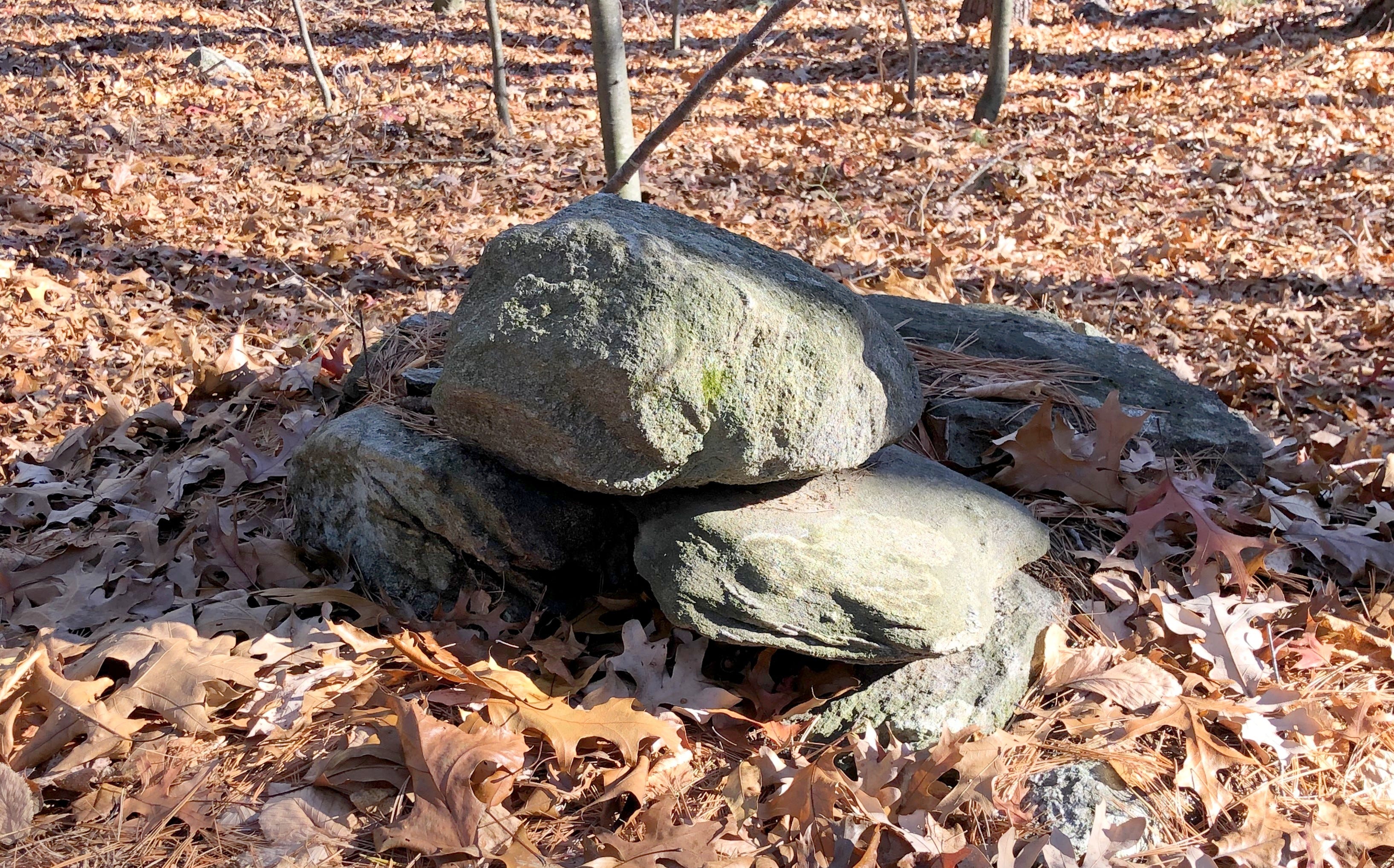
Looking around outside the fences, near the top of this hill, alongside the stone row, I found several additional interesting stone features.

Boulders appeared to have prayer stones atop, possibly accompanied by wing shaped stones or fin shaped stones.
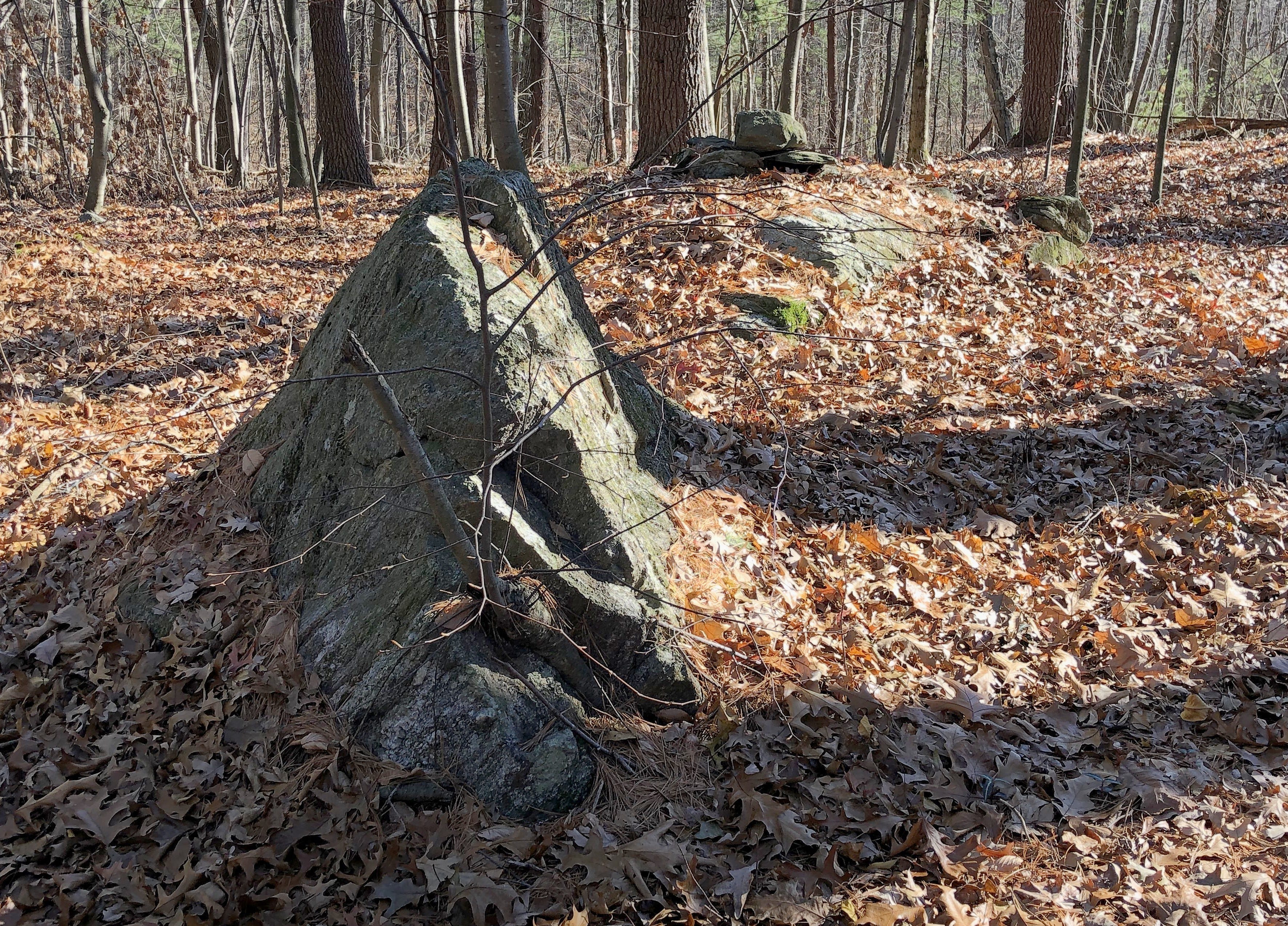
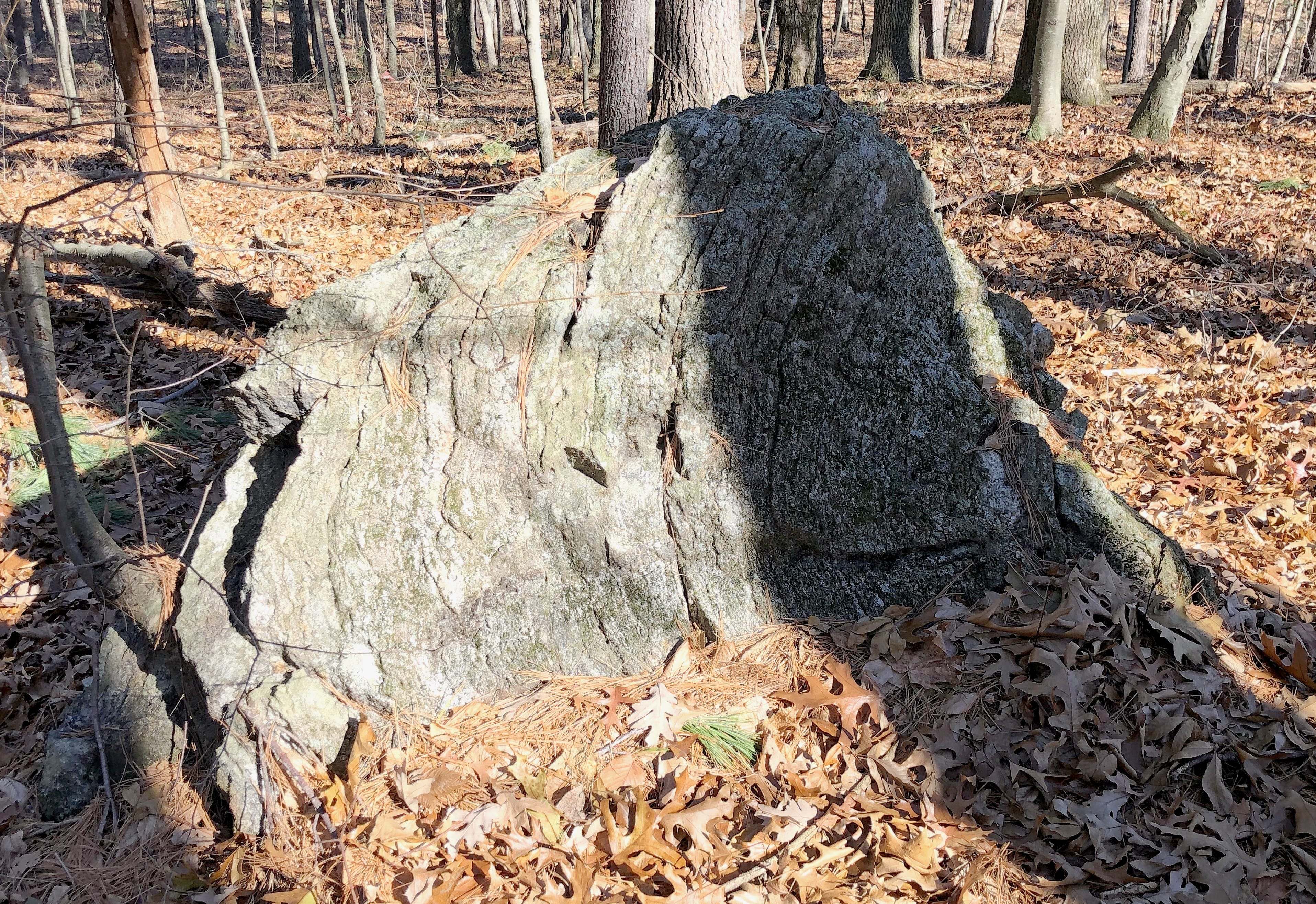
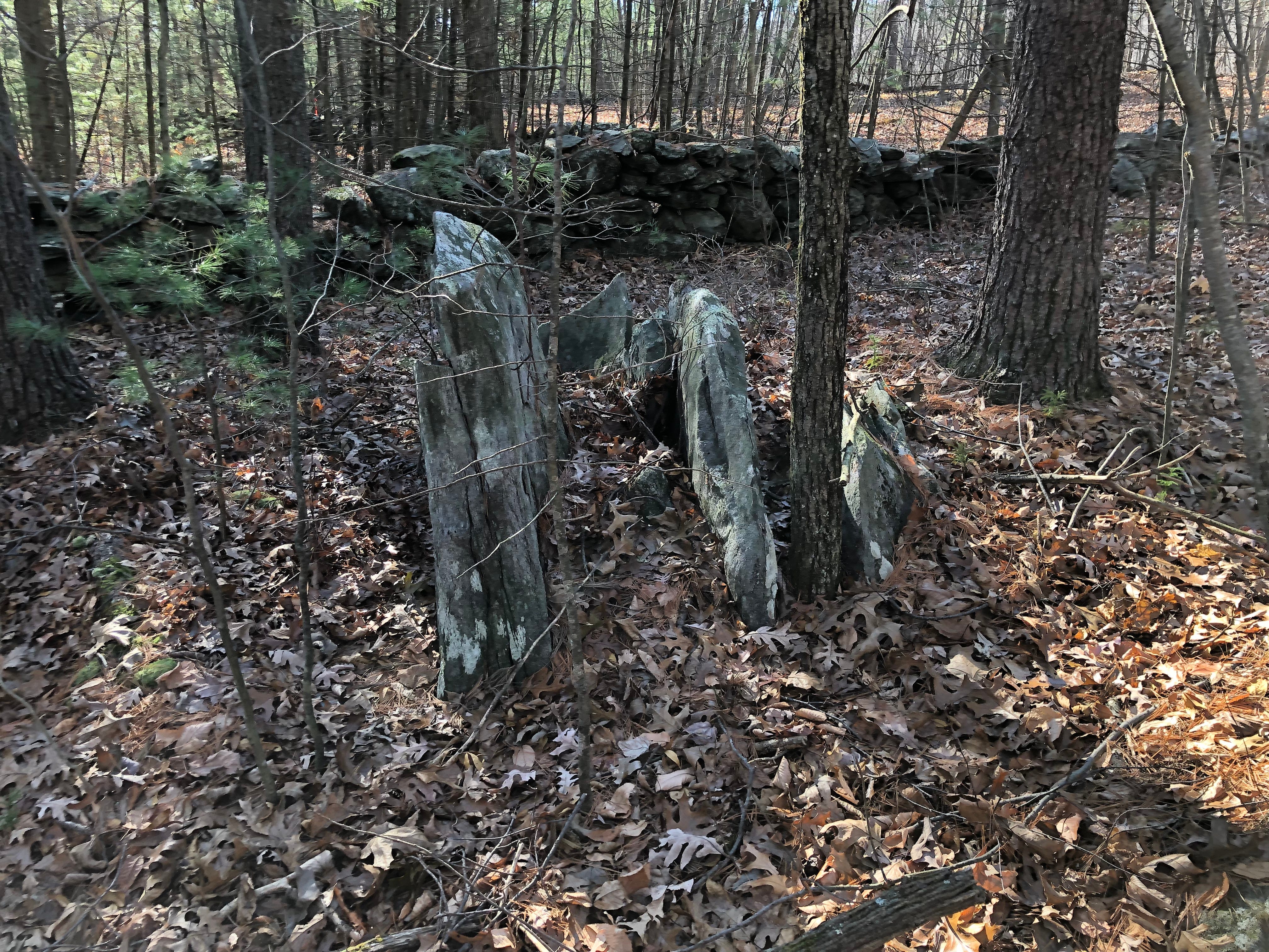
And more split rocks appeared.
I followed the stone row back to the central stone row and found my way back out to Taylor Road, the access road to Gates Pond. As I returned to my car, I realized that the discoveries I’d made last year, in December 2020 were in an extension of the wetlands I’d been checking out this year, with the waterworks.
What I’d found last year was closer to the pond. The two areas were cut off from each other by the construction of a cell tower on the hill in between.
We’ll make our way back south towards the pond by taking a look at those finds next.