


Rediscovering Kequasagansett 9
Possible Sacred Stone and Water Works Around Gates Pond in Berlin, Massachusetts

The Hilltop - A Sacred Precinct?
Not knowing there would need to be one, here is the third part of this look at the hilltop of the north-easternmost of the hills in Berlin, Massachusetts known as Sawyer Hill, once part of an area the Indigenous Peoples called Kequasagansett.
Part Three - The Western Hilltop Stones, Continued
Where were we before that interruption? Oh yes, we’d just looked at the Triple-Split Stone and the one with the large split-opening on the ground beside it.
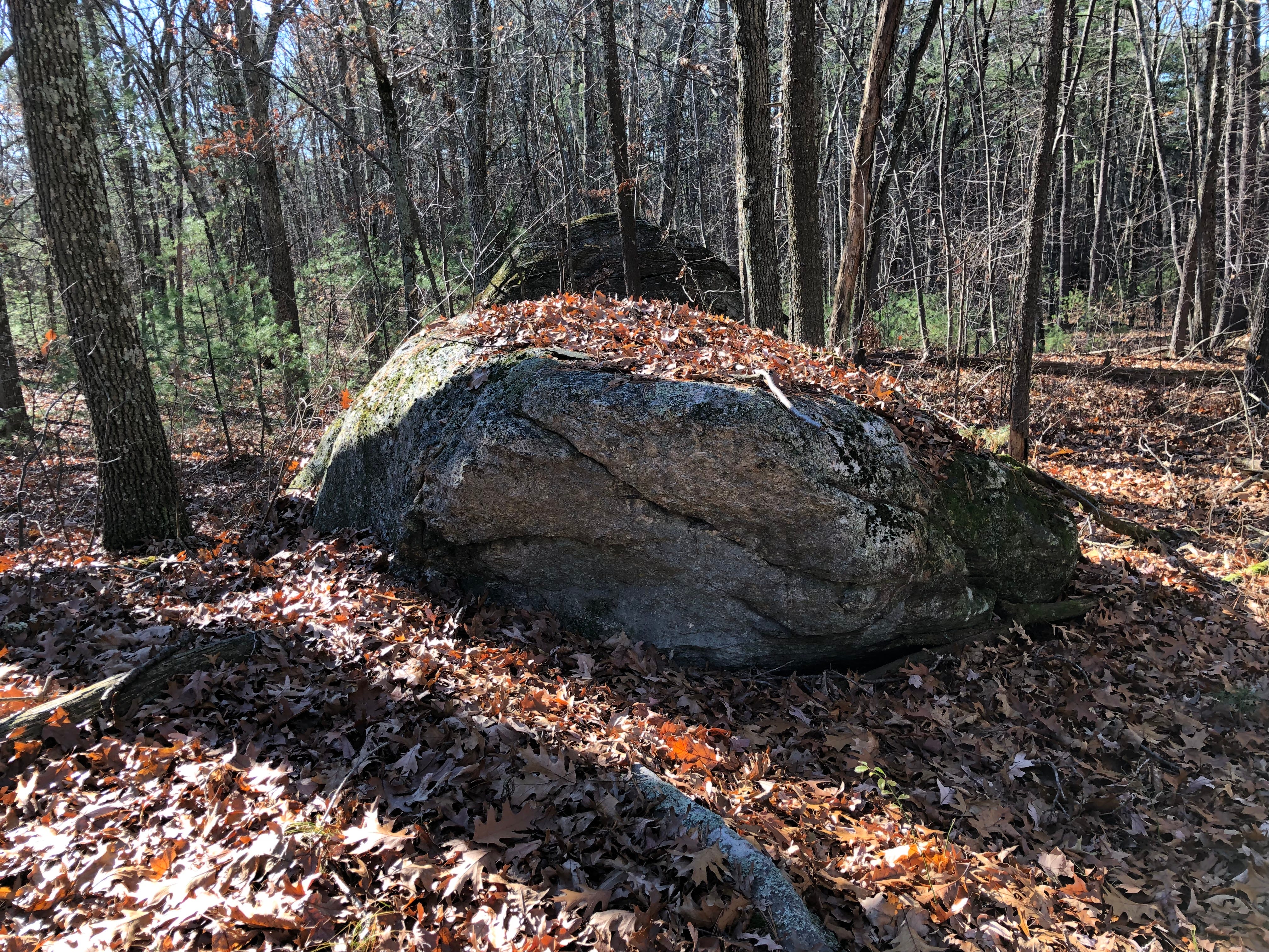
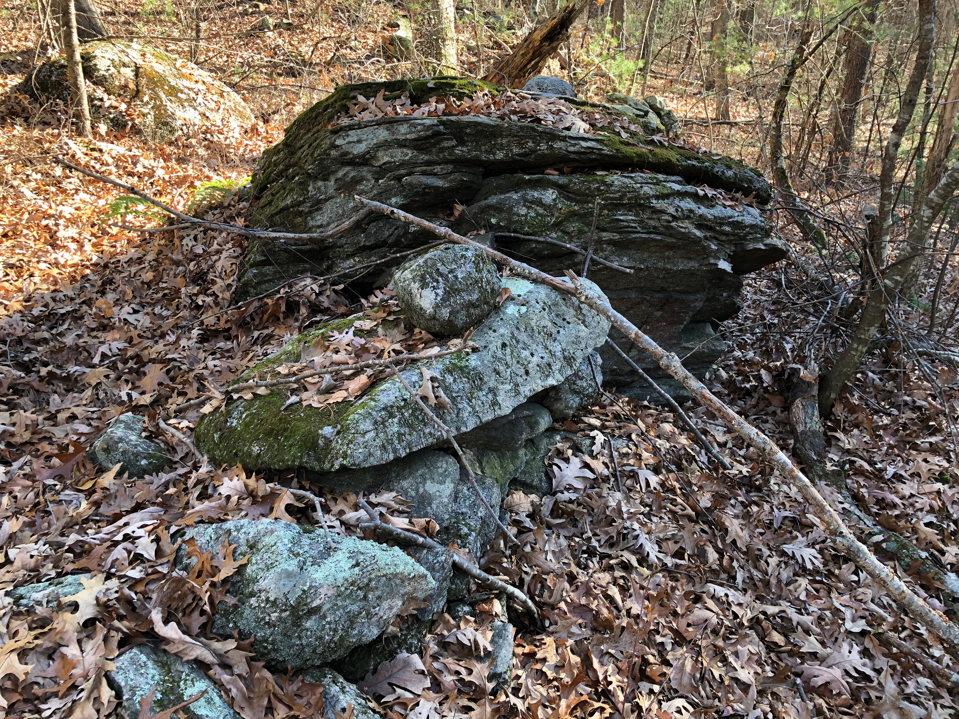
Several large and somewhat flat boulders share the space near the hilltop. An enormous boulder sits up near the top on the northwestern hillside.
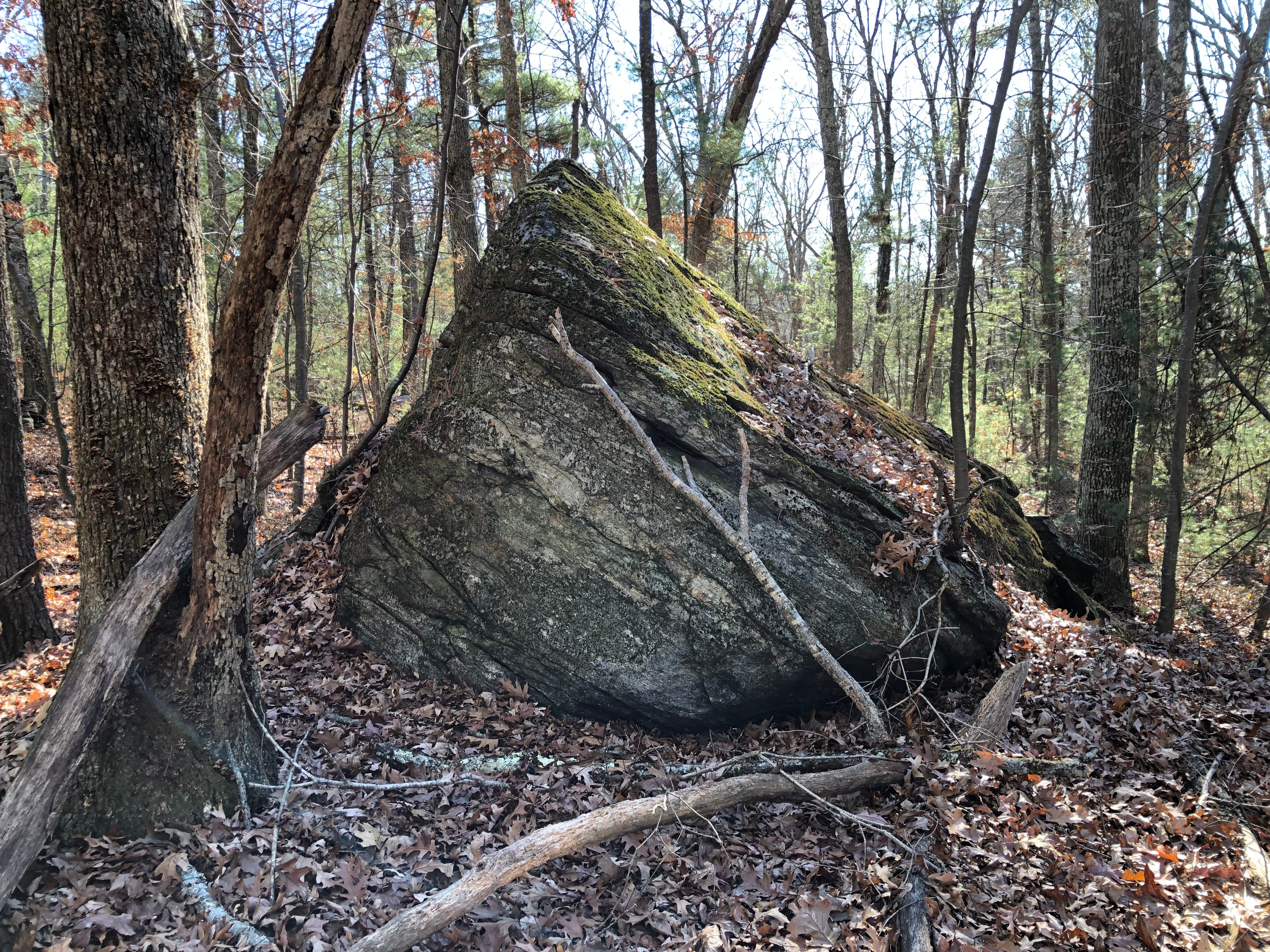

A large stone which may have wedged off of the original boulder appears to have been worked, turned and perched to give the look of a fin. A smaller one may have been meant to suggest a tooth.
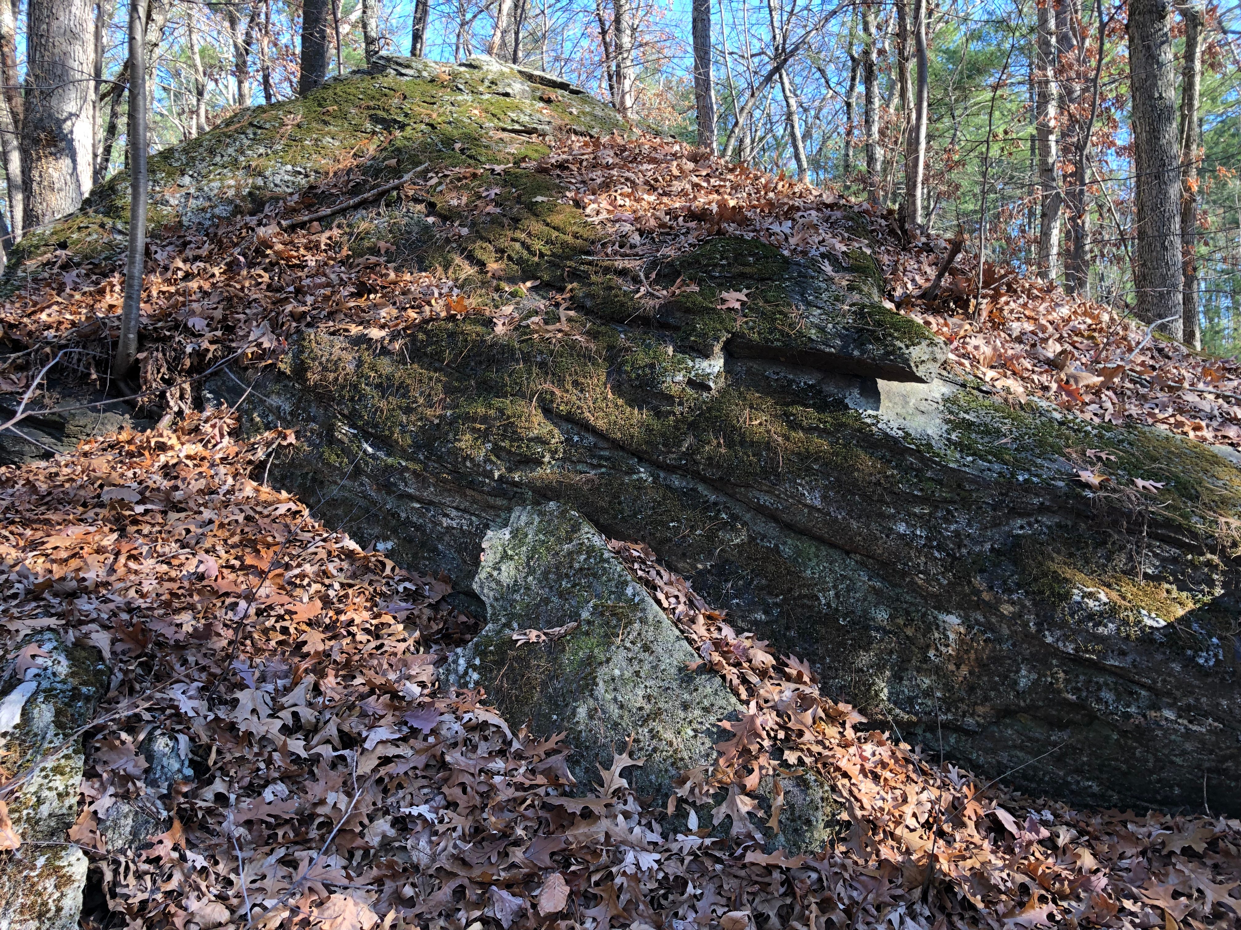
This boulder seemed to be Something. But I don’t know what.
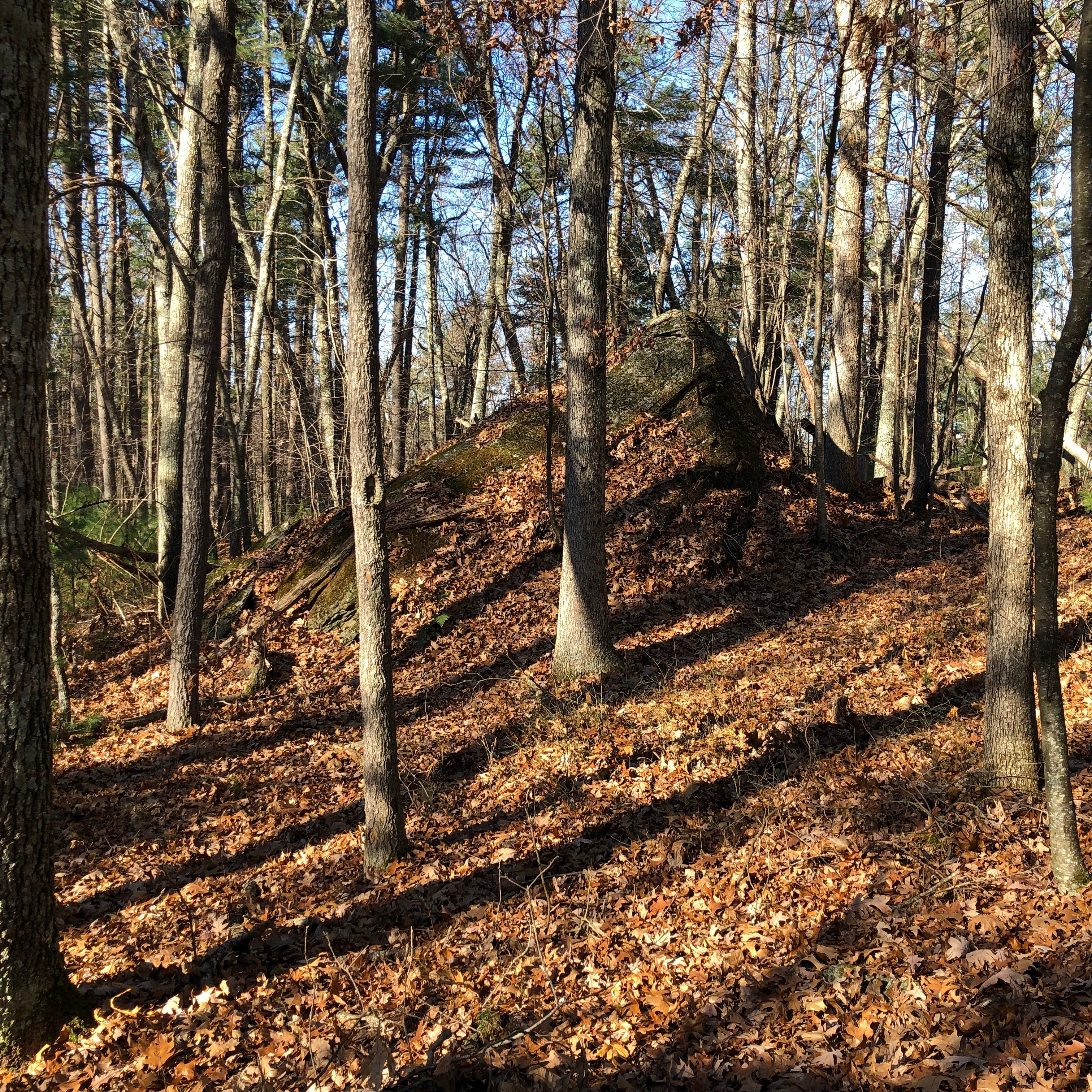
When I first read of “Sleeping Rock”, I thought this could be a candidate for it, having just seen it. But as I read the description now, I think Sleeping Rock was further down the hill, closer to the roadway. I’ve not found it to date.
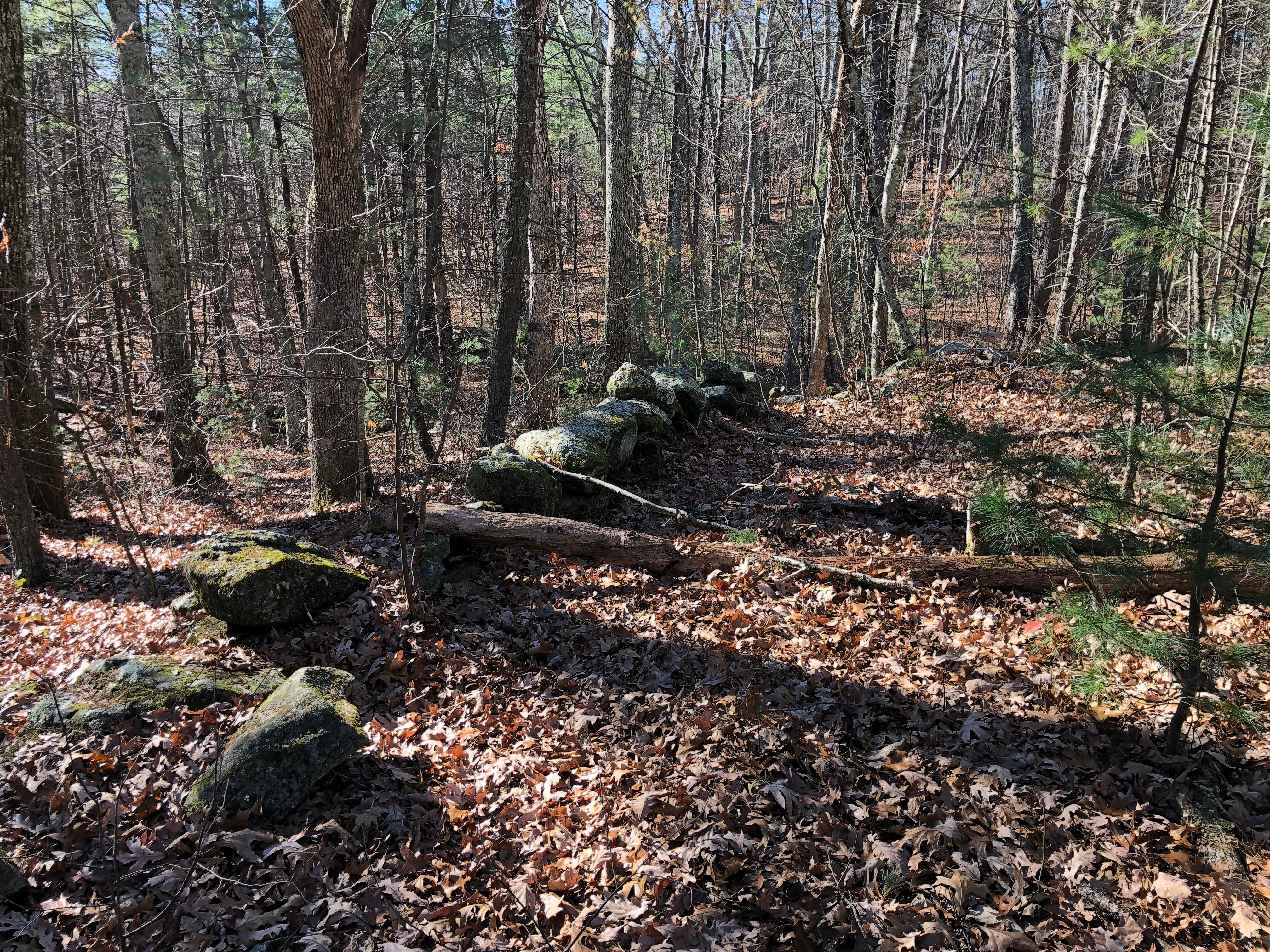
The western hillside is a bit more rugged and wooded, which is perhaps why some remnants of old work remain.
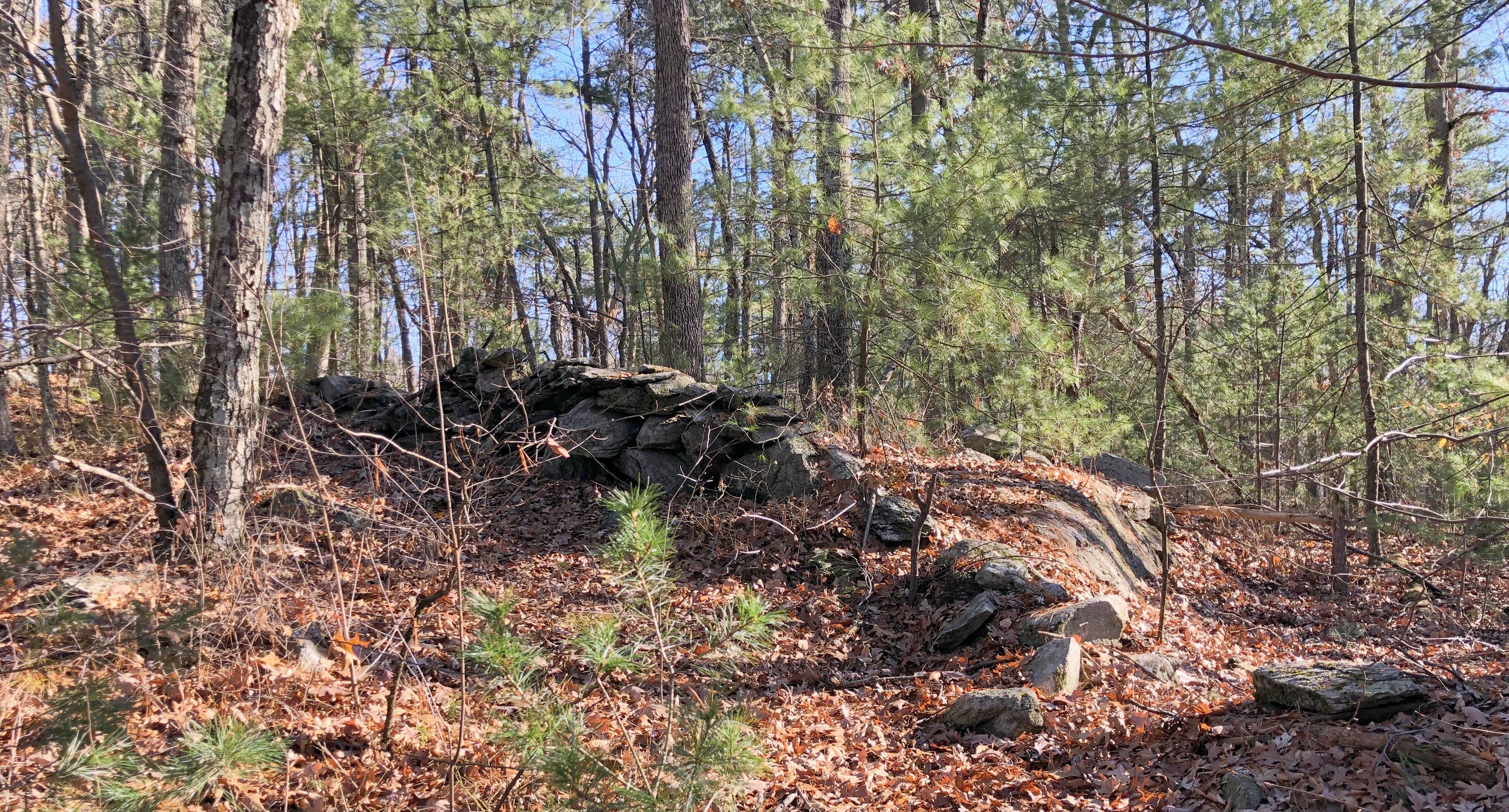
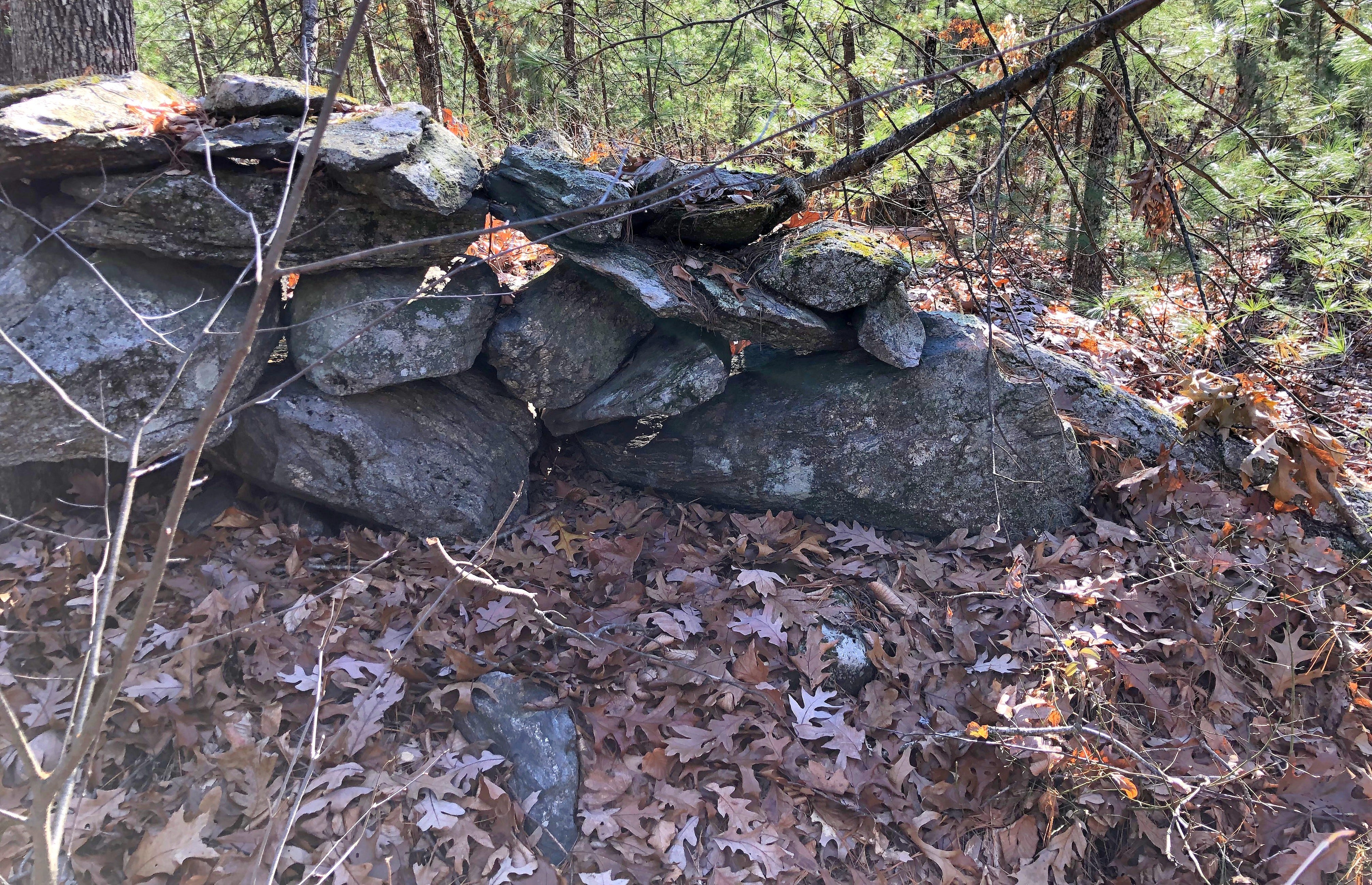
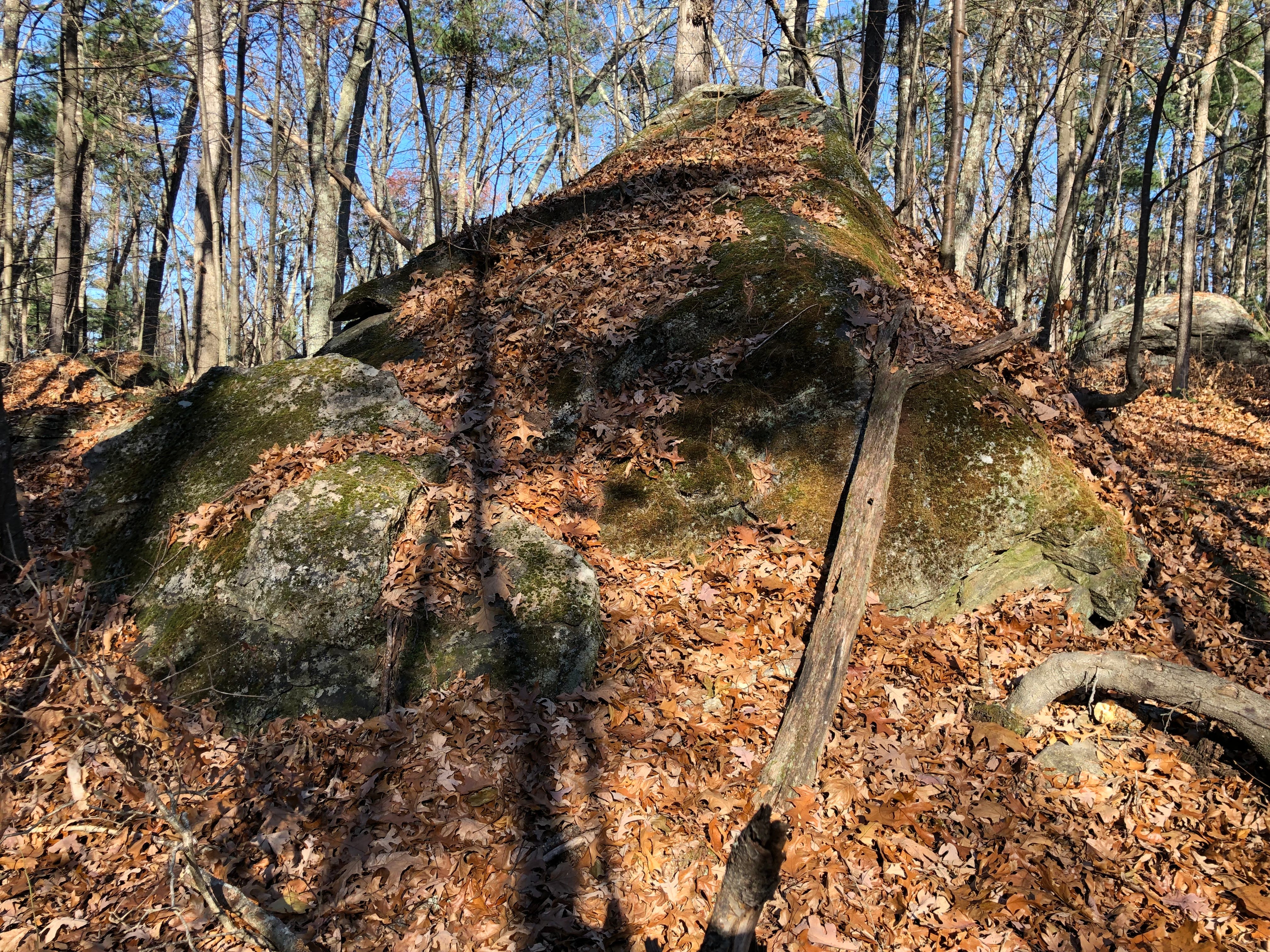
Like the pointing stones, this lower western stone work seems to encircle the top of the hill, giving me the sense there was perhaps a sort of Sacred Precinct atop this hill.
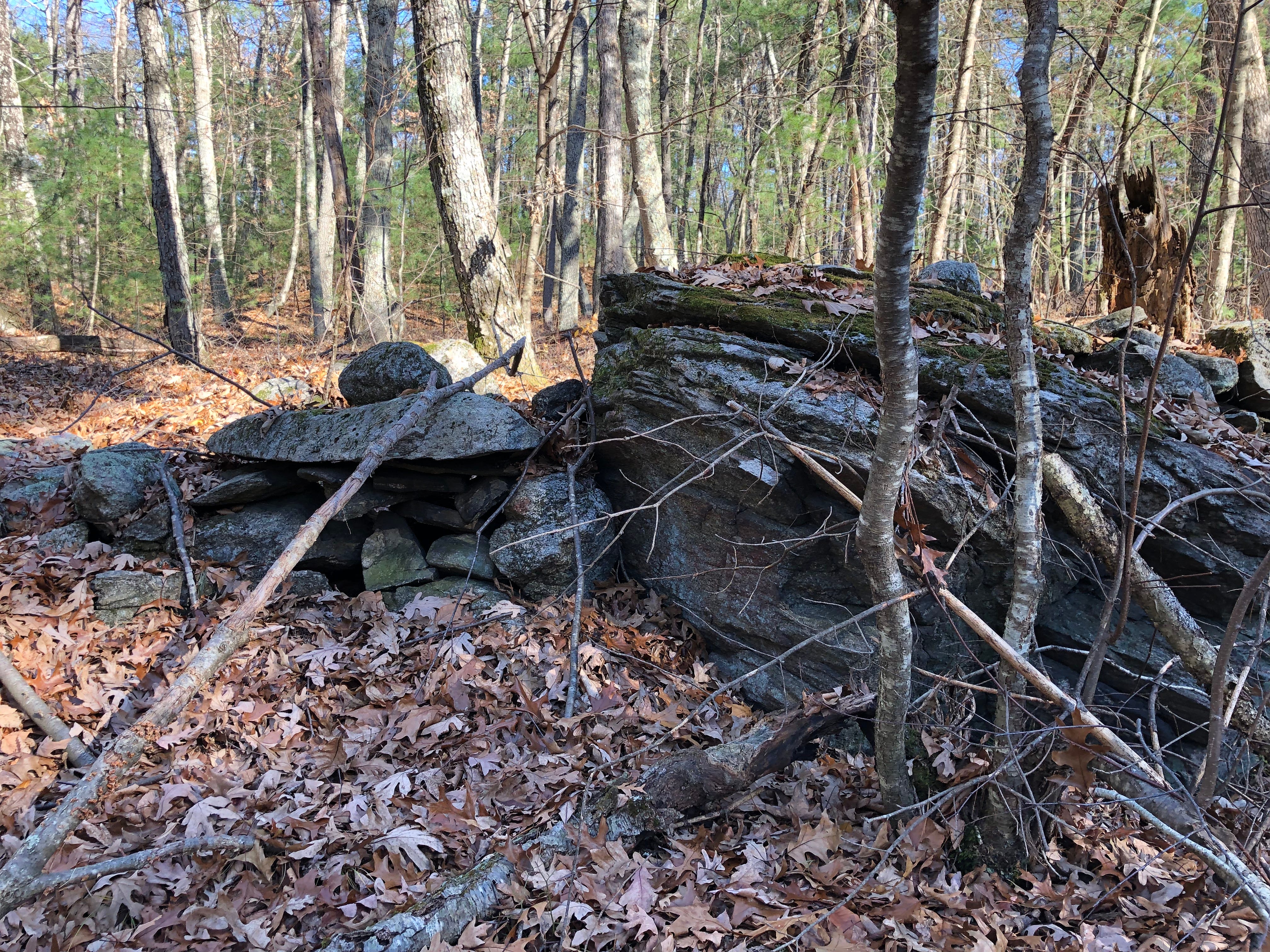
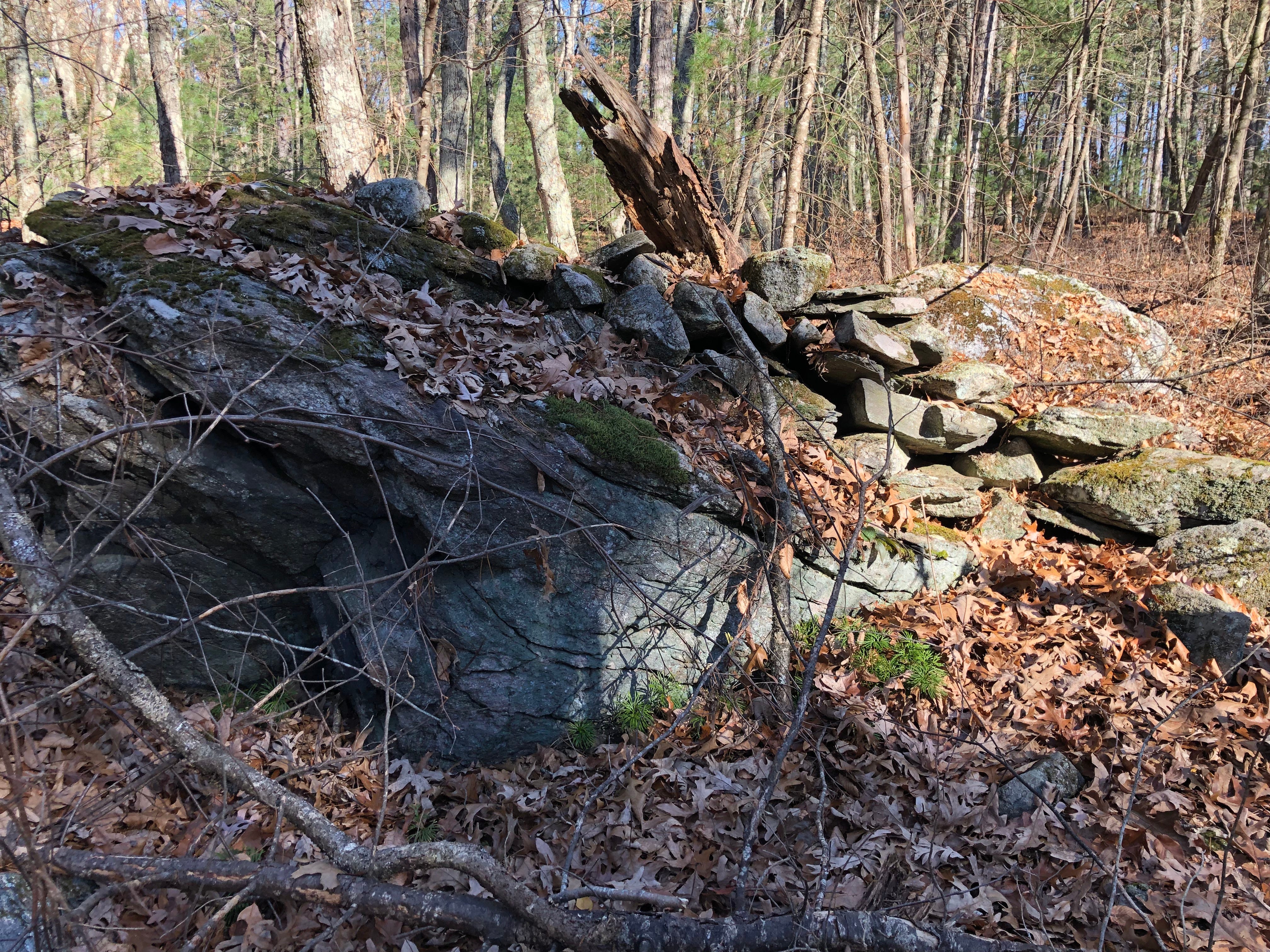
This was reinforced as I found boulders with prayer stones atop them, alongside extremely old, very short, curving stone rows, and more possible Manitou Hassanash – possible Ceremonial Stone Landscape work.

Some of this looked like what Peter Waksman had shared on his Rock Piles blog, perhaps a bit more run down by weather in the decade since.
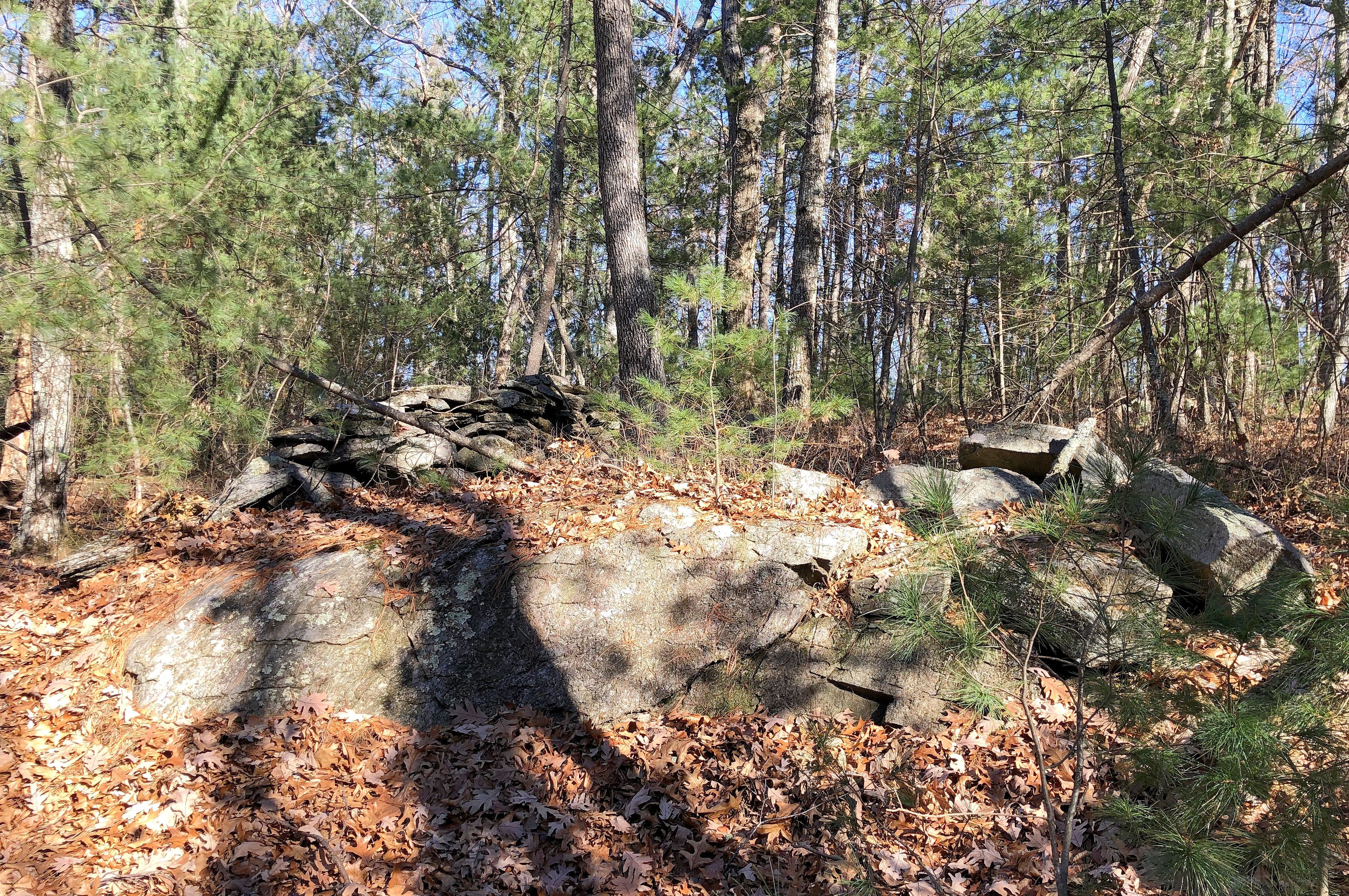
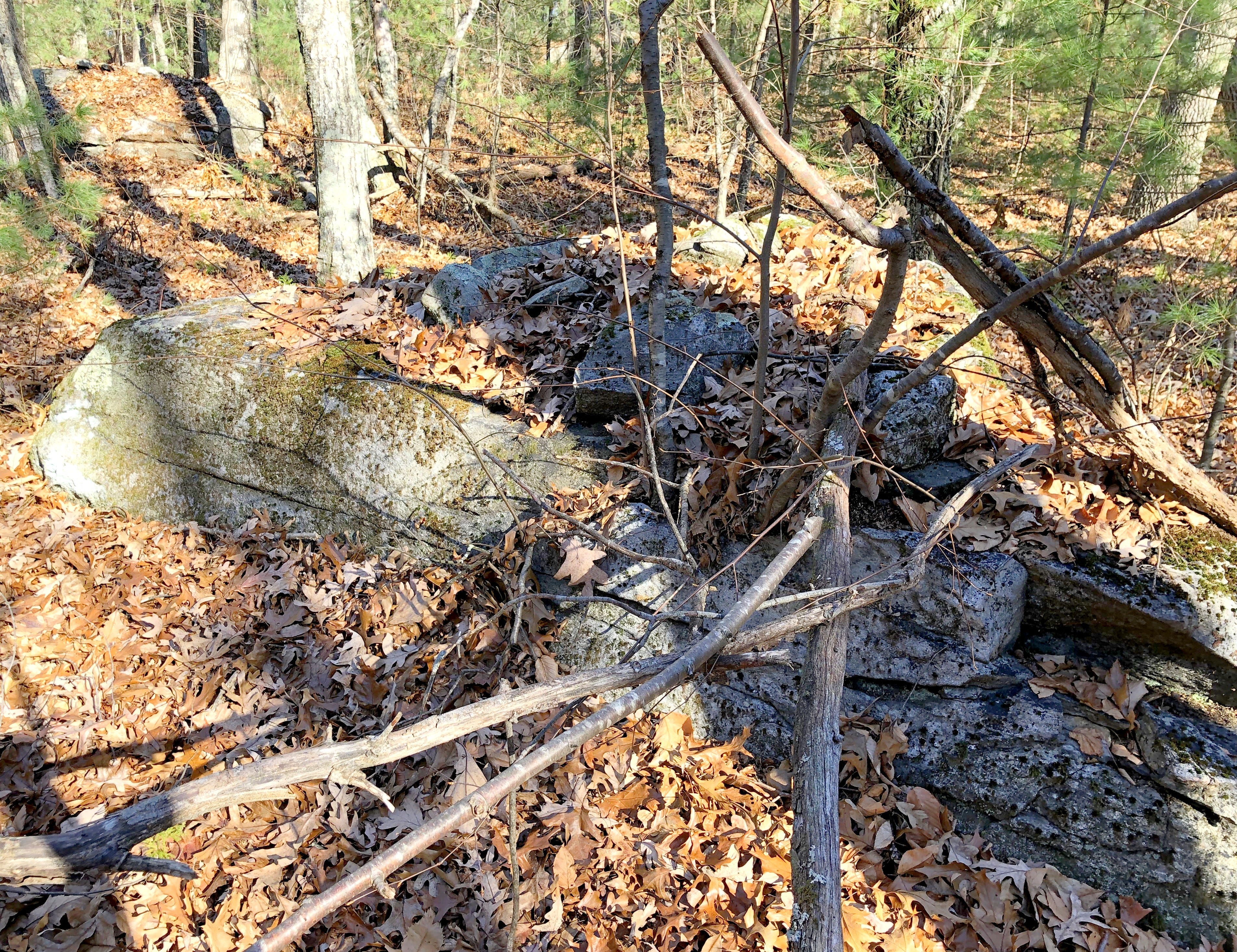
As following this stone work brought me around the hill, I was once again among the “water walls” towards the “back” of the waterworks, the stone work rising up the hill from the wetland’s northwestern corner.
Ahead, a western-leading stone row branched off of the central stone row. After wending back and forth a bit it “straightened up” and became the boundary “wall” of an orchard, climbing a hill to my southwest. Had there been something on Rock Piles about that hill, too?